
BEFORE A VISIT · CLASSROOM ACTIVITY
Read the land. Bring a question.
Observe the landscape, practise separating evidence from interpretation, and write a question to discuss with an educator.
LIBRARY FIELD GUIDE · LAND & HISTORY
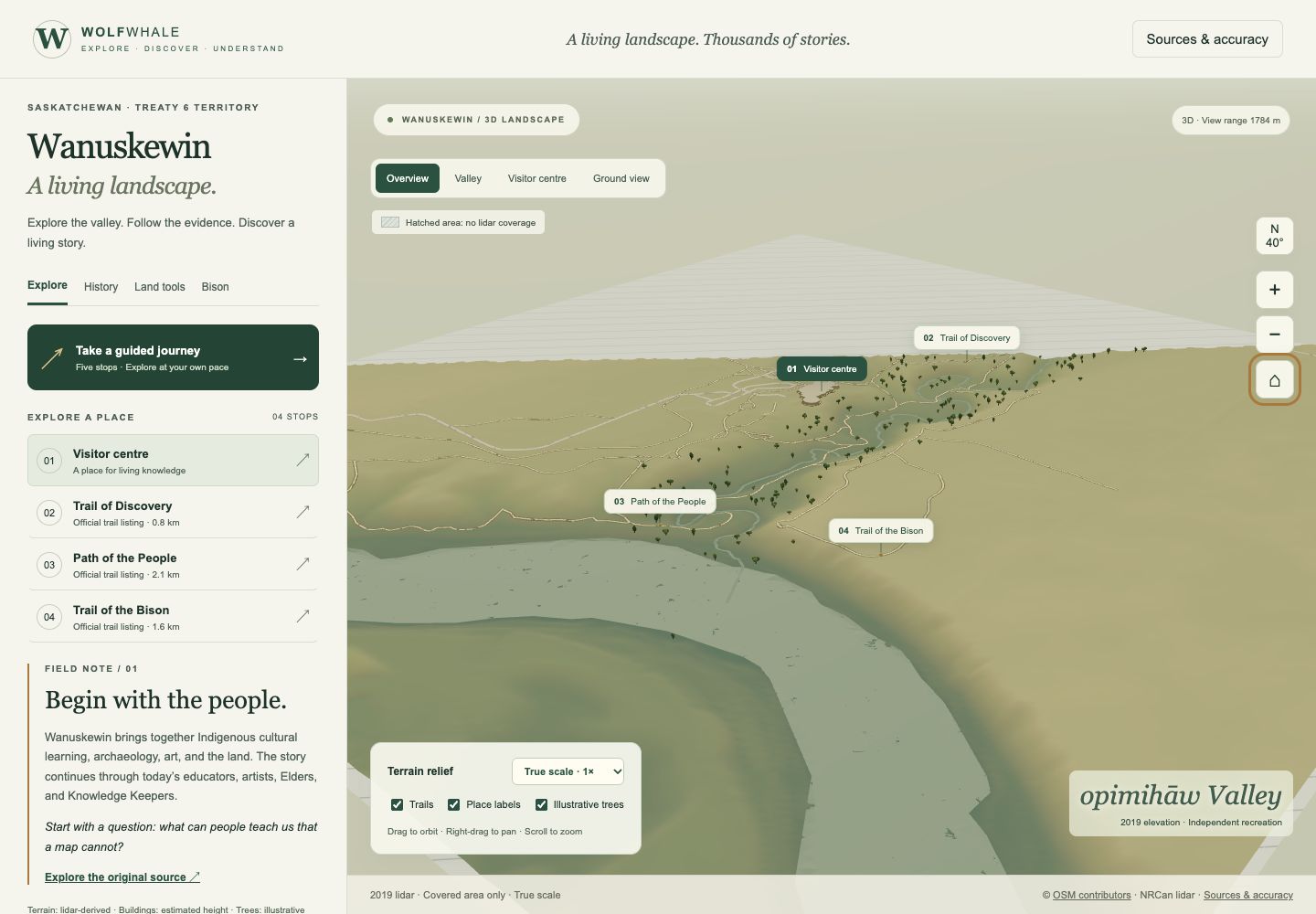
Explore a mapped view of the valley, ask what terrain can tell us, and compare it with a clearly labelled interpretation from about 2,000 years ago.
Educational draft · Sources, map coverage and interpretation notes are included below.
START WITH WHAT YOU CAN OBSERVE
The terrain comes from a 2019 elevation model. Explore the landform and mapped paths first. Then switch to an interpretive scene set about 2,000 years ago and notice which details come from sources and which are illustrative.
BEFORE A VISIT · CLASSROOM ACTIVITY
Observe the landscape, practise separating evidence from interpretation, and write a question to discuss with an educator.
MAP & INFORMATION
Rotate the terrain, inspect mapped paths, and read what the data does and does not show.
INTERPRETIVE WALK · REVIEW DRAFT
Follow a covered section of three mapped trails. Compare the present-day terrain with an illustrative activity scene set about 2,000 years ago.
TRAIL COMPANION · CONCEPT
Try a short reading and observation activity, then use the official visitor information for current routes and on-site guidance.
“About 2,000 years ago” is a broad educational setting, not an exact reconstruction of a particular year or camp. The ground and water geometry remain modern references. Bison, activity areas, vegetation and their arrangement are illustrative. Optional ground outlines are conjectural. No specific person, excavation site, ancient route, or community interpretation is claimed.
Wanuskewin’s own educators and sources lead the next step. This independent Library draft does not imply park endorsement or review.
Read the evidence and limits ↗ · Wanuskewin learning resources ↗